Industries We Serve
Proven Construction Technology Solutions for Civil, Mining and Infrastructure Projects Across Southern Africa
As Southern Africa’s trusted construction and mining-technology partner, SITECH SA works alongside customers to deliver smarter, safer, more precise and more profitable projects. We provide end‑to‑end Trimble® technology solutions – from machine control and GNSS positioning to volumetric scanning and proximity awareness – that help teams work smarter, safer, faster and more accurately.

Being part of the global SITECH® network and a subsidiary of the OPTRON Group means we connect civil and mining clients to the world’s most advanced technology while still delivering local expertise and support.
Civil & Road Construction
Integrated Technology Solutions for Civil and Road Construction Projects
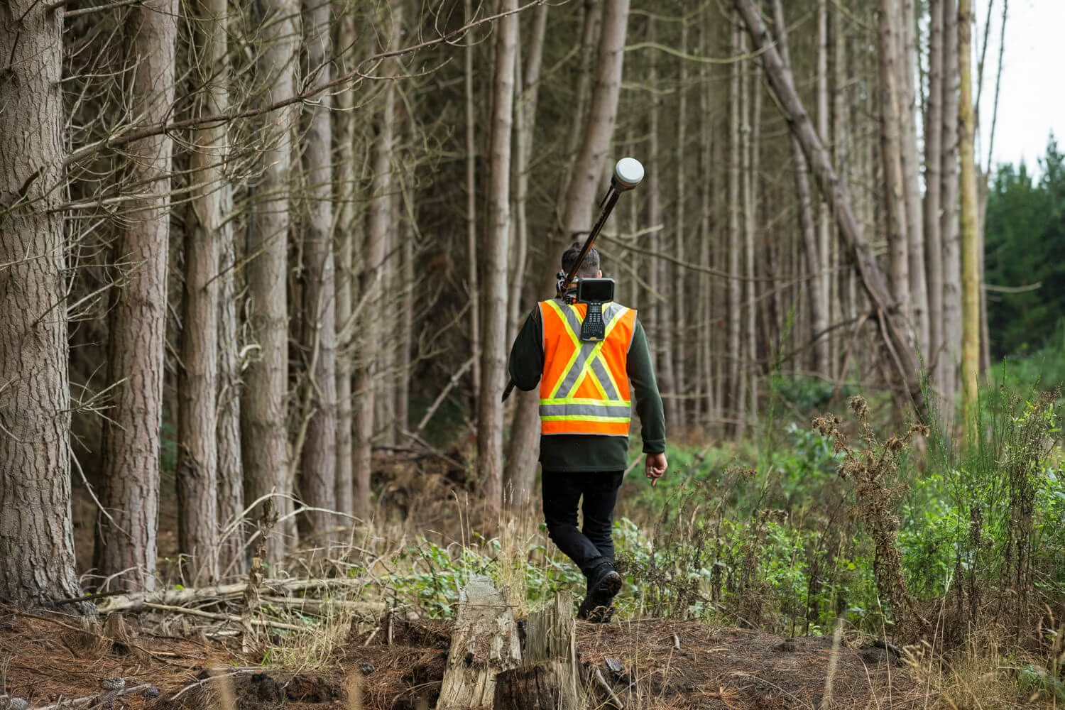
Heavy civil and road‑building projects depend on accuracy, productivity and tight timeframes. SITECH SA helps contractors move more dirt in less time by integrating Trimble Earthworks machine control with GNSS positioning and grade‑control tools. This technology lets operators finish a grade faster, with fewer stakes and less rework. Our solutions for civil construction include:
-
Machine control systems
Trimble Earthworks systems for dozers, excavators and graders enable operators to move 12 hours’ worth of earth in an 8‑hour day by delivering real‑time design surfaces in the cab. Options include paving control for slipform pavers and asphalt pavers, compaction control for asphalt and soil compactors, drilling and piling systems, and grade control for scrapers and motor graders.
-
Site positioning
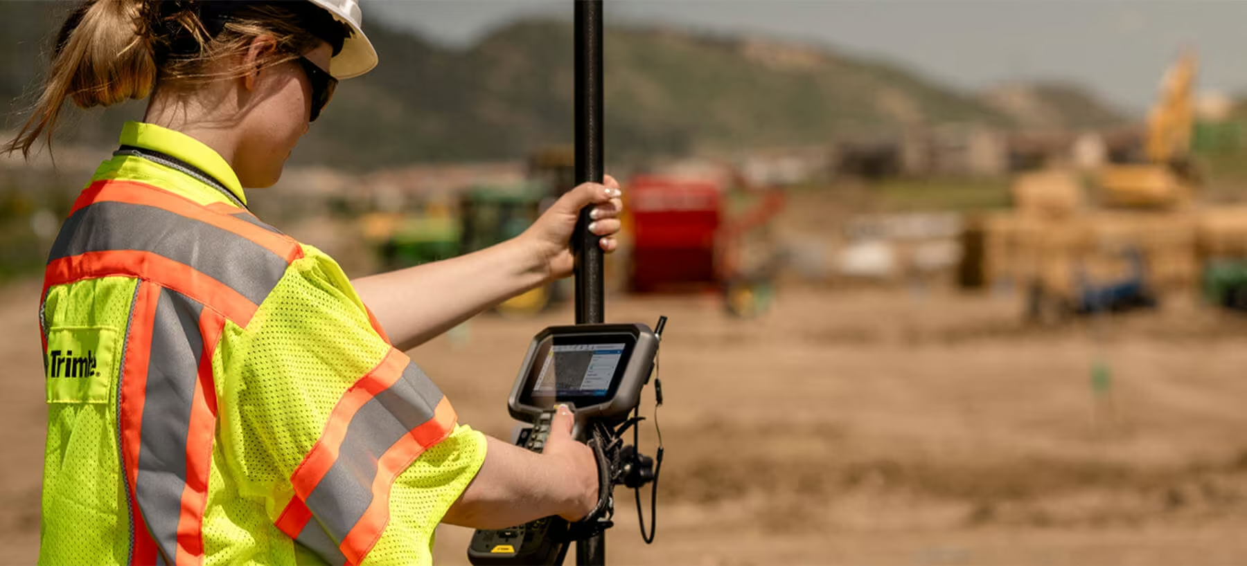
GNSS and robotic total stations provide precise positioning for surveyors and foremen so crews always know where to work.
Devices such as the TS series total stations, SPS GNSS antennas, controllers and radios help contractors meet tight specifications. -
Construction software
Data‑rich 3D models and real‑time production information help teams design, optimize and collaborate. SITECH SA provides Trimble Business Center, VisionLink, WorkOS and other software to keep the office and field connected.
-
Lasers and optical instruments
Spectra Precision lasers and optical tools deliver reliable grade and layout control for foundations, slabs and linear infrastructure.
Why it matters: Integrated technology reduces survey time, minimizes rework and helps crews deliver accurate roadbeds and earthworks on schedule. SITECH SA offers consultative advice, Trimble‑certified installation and training so systems deliver measurable value.
Civil & Road Construction
Precision Measurement and Real-Time Oversight for Mining and Material Operations
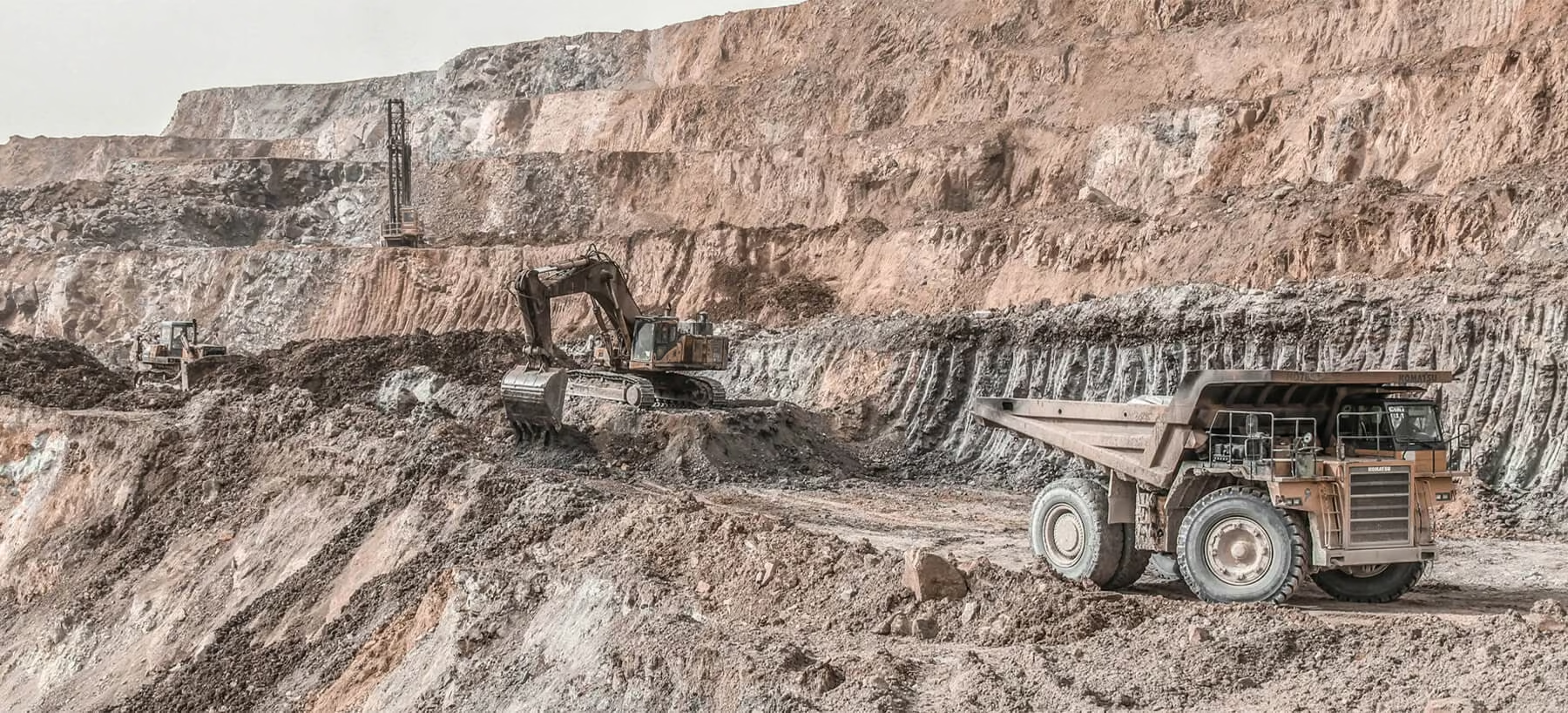
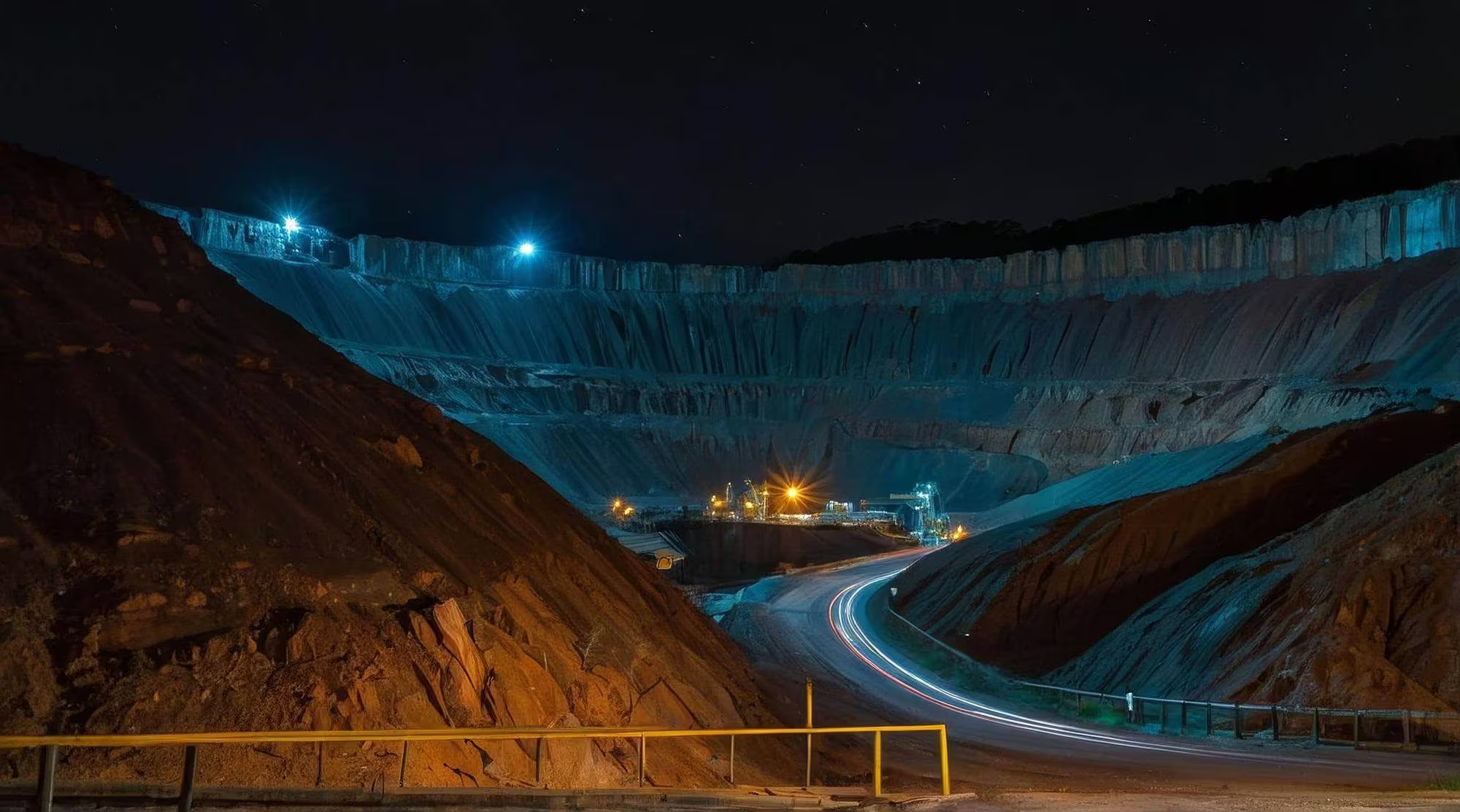
Mining, quarrying and bulk material operations demand a high level of accuracy, safety and operational visibility. Sitech SA brings together volumetric scanning, onboard weighing, drone survey technology and advanced positioning solutions to give mines and quarries a complete, real-time view of material movement and equipment productivity. From load measurement and site layout to data management and reporting, our integrated solutions help operations reduce waste, improve safety and make more informed decisions on site.
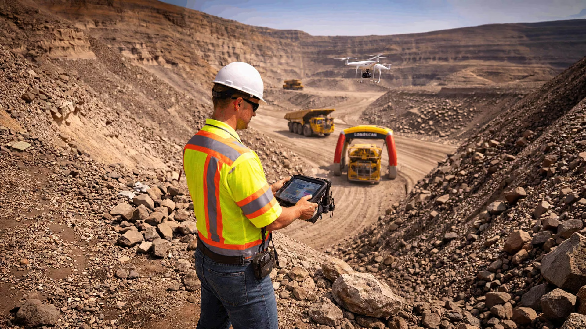
Mining, quarrying and bulk material operations demand safety, precise measurement and real‑time oversight. SITECH SA combines volumetric scanning, onboard weighing and advanced positioning to help mines improve productivity and safety. Our solutions include:
-
Loadscan volumetric scanning
Drive‑through scanners accurately measure every load hauled on site, providing real‑time visibility into material movement and eliminating guesswork. The technology reduces waste and improves accountability.
-
Loadrite onboard weighing
Precision weighing systems measure bucket or haul‑truck payloads as materials are loaded, improving productivity monitoring for heavy equipment.
-
Precision survey & positioning
Trimble GNSS receivers and Site Positioning Systems ensure accurate site layout, boundary surveys, drill‑and‑blast planning and grade control for ore tracking.
-
UAV and drone survey solutions
SITECH SA supplies and supports drones from leading manufacturers (such as Quantum and DJI) that perform aerial mapping, volumetric measurements and environmental monitoring. Drone surveys provide accurate terrain and volume data quickly and safely. SITECH SA also supplies Propeller (™), a cloud-based platform that turns drone-captured site data into precise 3D maps and analytics for construction and earthworks projects. It helps teams monitor progress, measure volumes, and collaborate in real time, reducing costs and improving decision-making.
-
Data‑management software
Software such as Trimble Siteworks and Works Plus centralises data, enabling real‑time transfer between machines and office, and helps mines upgrade to new hardware and software through subscription models.
Why it matters: Integrated technology reduces survey time, minimizes rework and helps crews deliver accurate roadbeds and earthworks on schedule. SITECH SA offers consultative advice, Trimble‑certified installation and training so systems deliver measurable value.
Infrastructure Development
Accurate Surveying and Positioning Solutions for Infrastructure Development
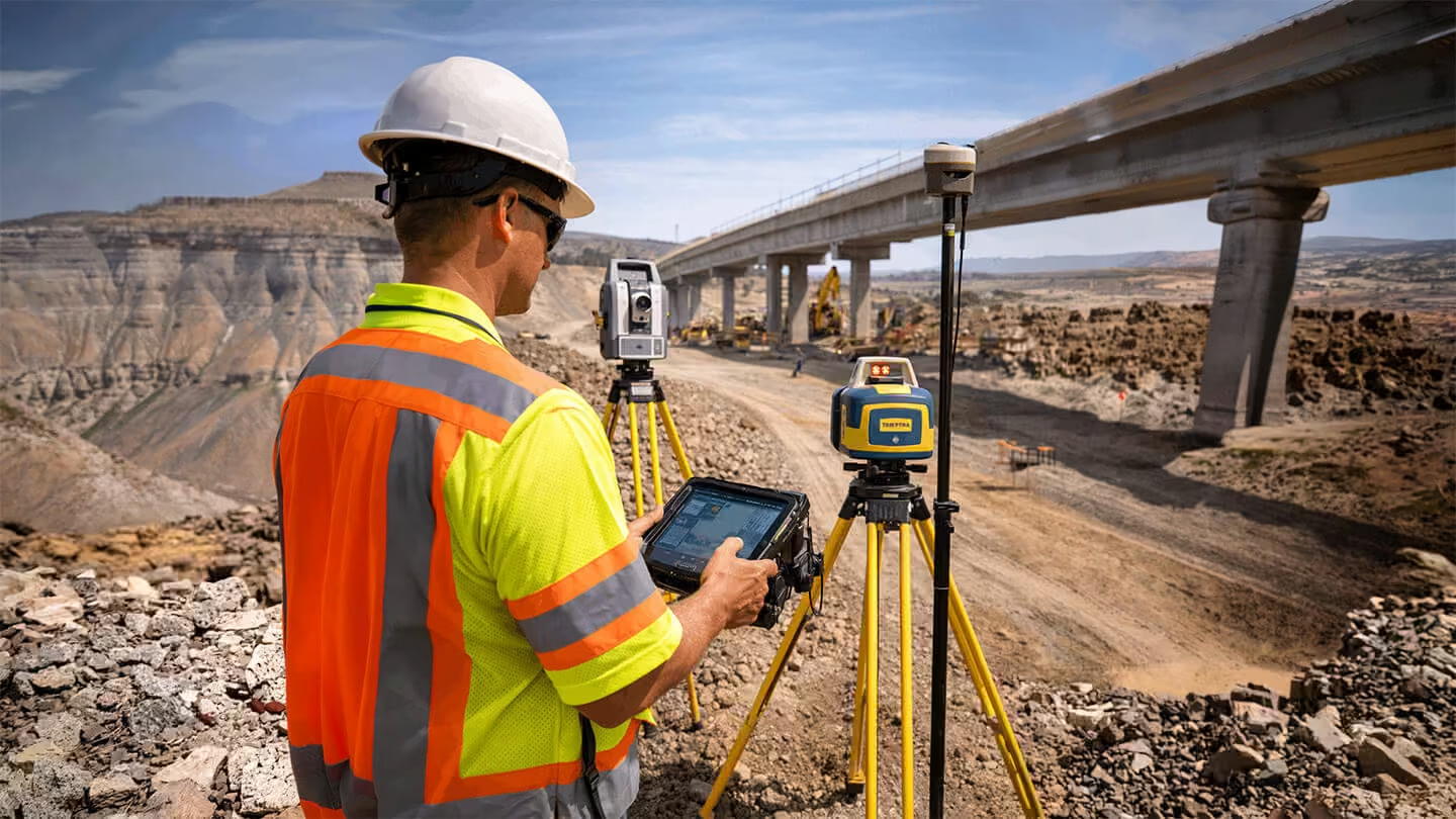
Infrastructure projects – from bridges and tunnels to utilities and building foundations – require precise surveying and layout. SITECH SA supports surveyors and engineers with integrated GNSS, lasers and optical instruments to ensure accuracy from design to construction. Key offerings include:
-
GNSS receivers and robotic total stations
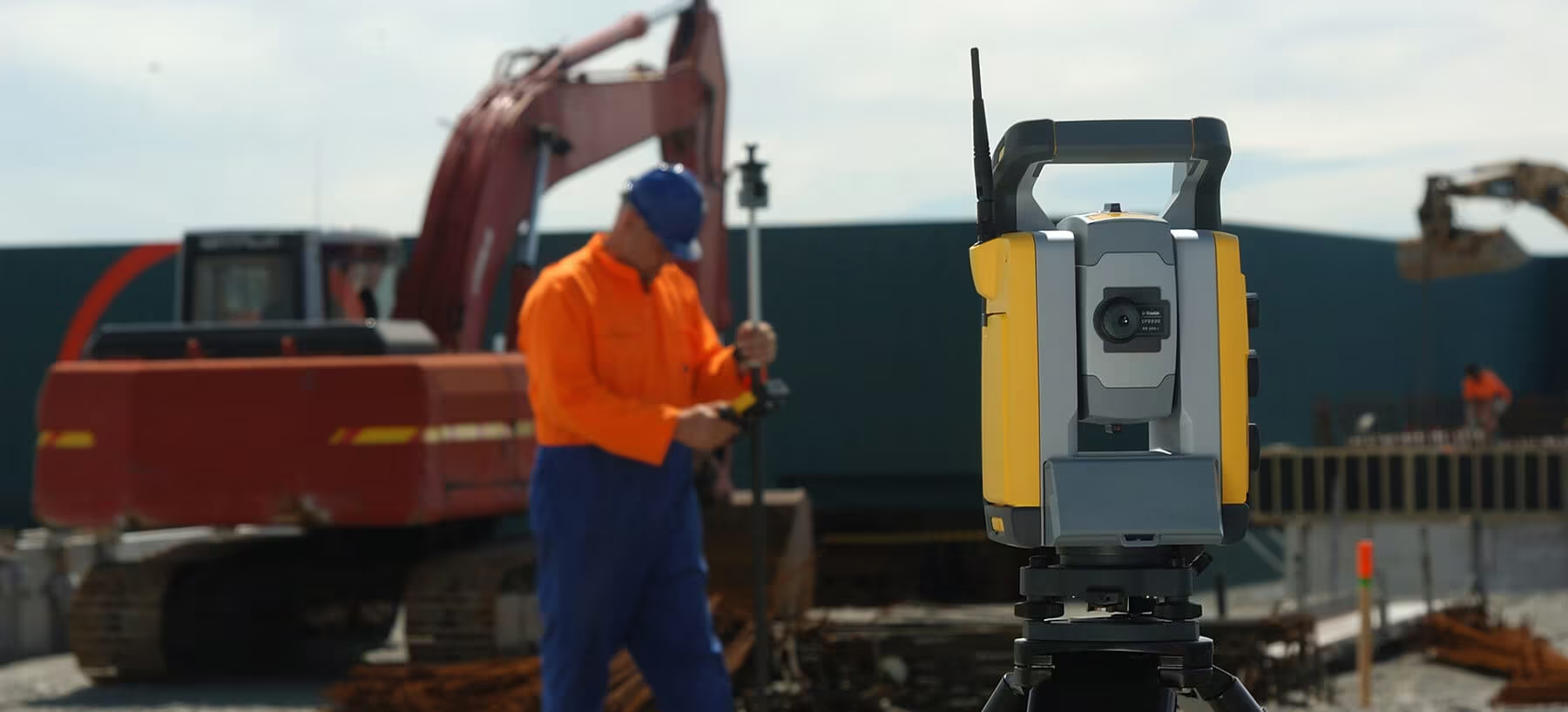
Trimble GNSS solutions provide centimetre‑level positioning for surveying, mapping and construction stakeout, while robotic total stations allow one‑person operation for fast and accurate measurements.
-
Spectra Precision lasers
Robust laser levels, grade lasers and optical instruments deliver reliable elevation and alignment control, ensuring structures are built to specification.
-
Field controllers and software
Devices such as the TSC controllers and Trimble Siteworks enable field crews to collect data, visualise designs and communicate with the office in real time, improving productivity and reducing errors.
-
Construction tools
SITECH SA provides construction lasers, receivers, optical instruments and accessories that connect with GNSS and total station workflows, ensuring consistency and accuracy across the project lifecycle.
Why it matters: Accurate surveying and positioning underpin every infrastructure project. By equipping survey teams with integrated GNSS, lasers and field software, SITECH SA helps deliver precise, repeatable results and reduces costly rework.
Why Sitech SA
Why Choose SITECH SA?
From expert consultation and Trimble-certified installation to on-site training and dedicated technical support, Sitech SA provides everything you need to get the most from your technology investment across every stage of your project.
Trusted Partner
SITECH SA is a subsidiary of the OPTRON Group and part of the global SITECH® network. Our team offers expert consultation, project planning and Trimble‑certified installation and training.
Comprehensive portfolio
From machine control systems and GNSS positioning to volumetric scanning and proximity‑awareness solutions, we provide a complete technology portfolio to streamline workflows and reduce costs.
Local support
With service centres across South Africa, we deliver customised training, technical support and on‑site assistance to ensure every system performs at its best.
Ready to Modernise Your Job Site?
Whether you’re building roads, managing a mine or surveying critical infrastructure, SITECH SA has the technology and expertise to help you build smarter.
Contact our team today and explore the best construction technology solutions in South Africa.